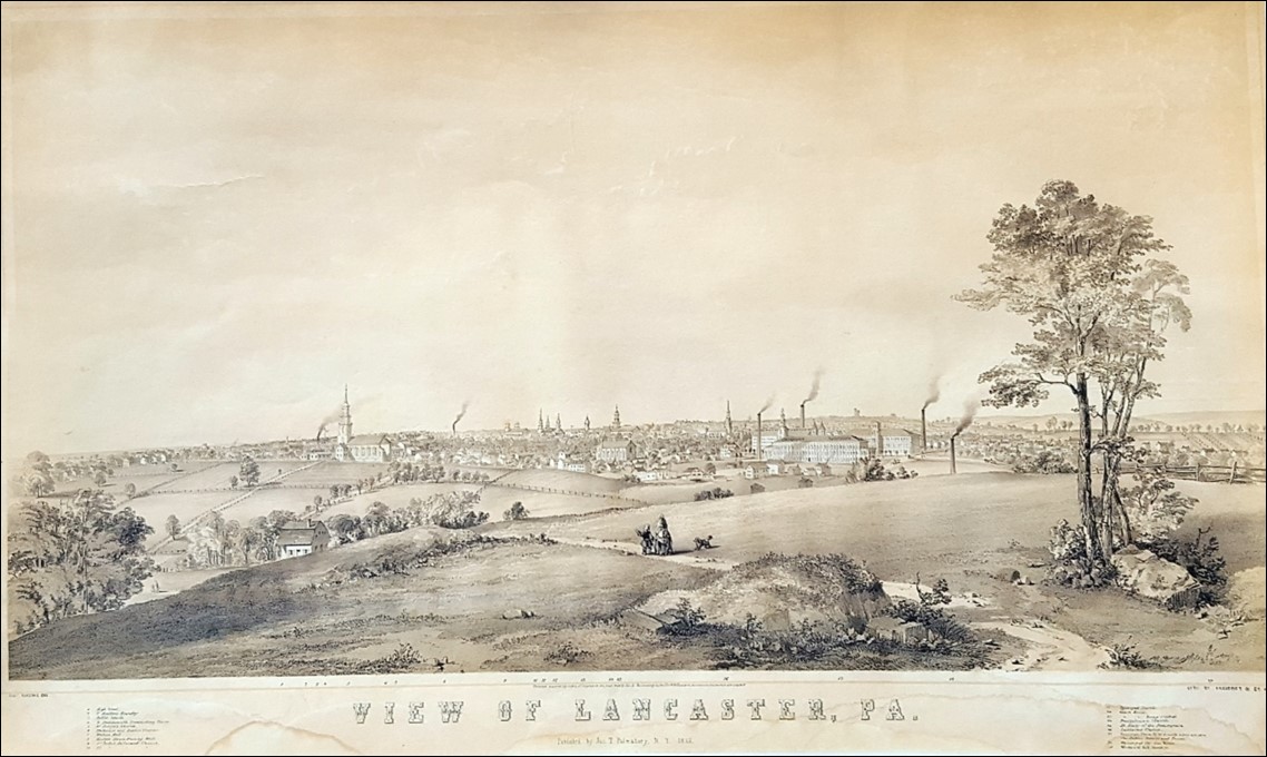
Lancaster 1852
View of Lancaster, Pa. looking northeast, drawn by Charles R. Parsons in 1852.
It shows Lancaster as it appeared to the artist sitting on a hill with an unobstructed view of the city.
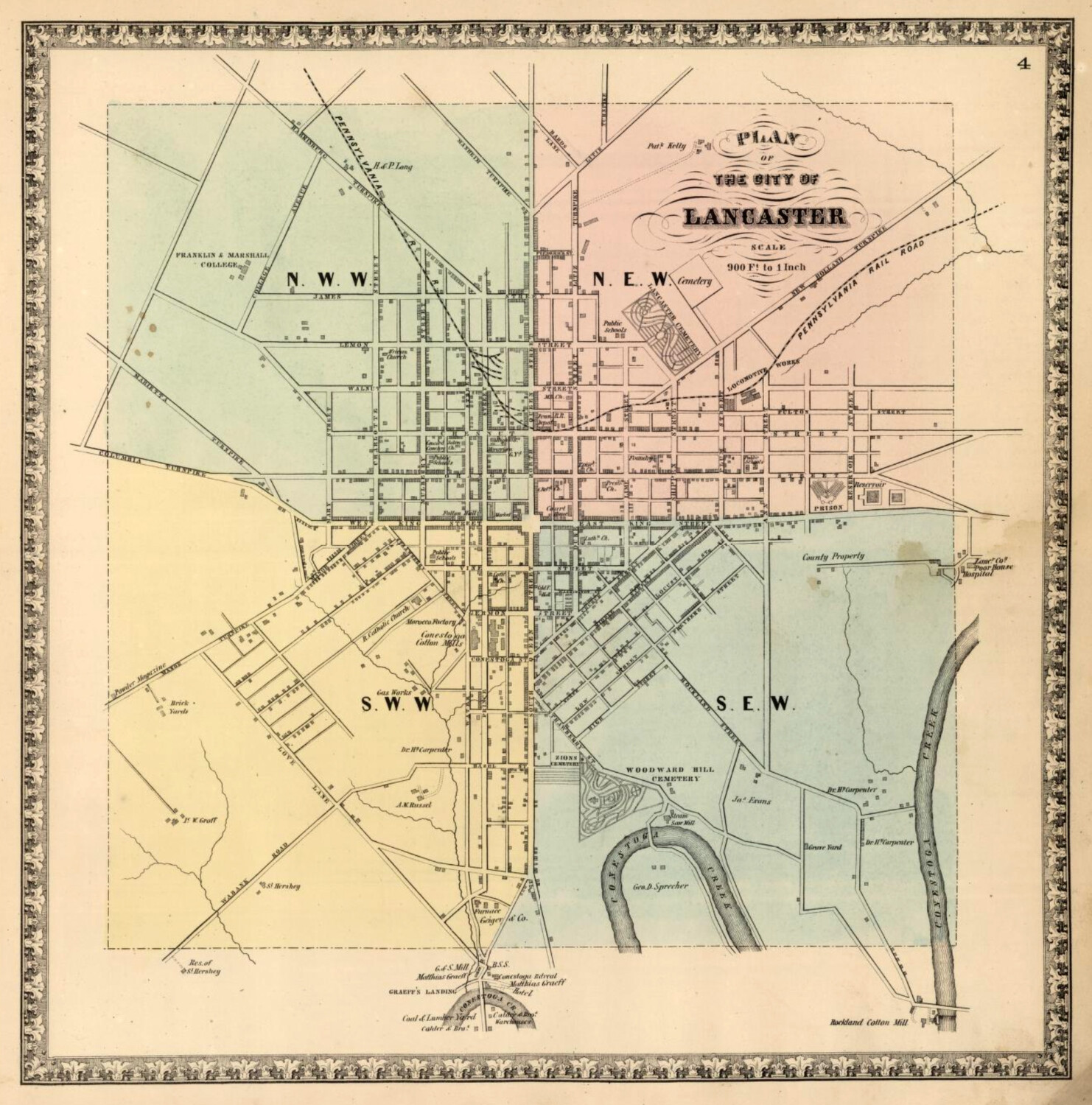
Lancaster 1850 and 1864
North Mary street didn’t yet exist above Orange street in 1850. By 1864 it ran only two bocks further, ending at N. Walnut. Only a few houses exist on West Lemon, near where North Mary would be someday be continued.
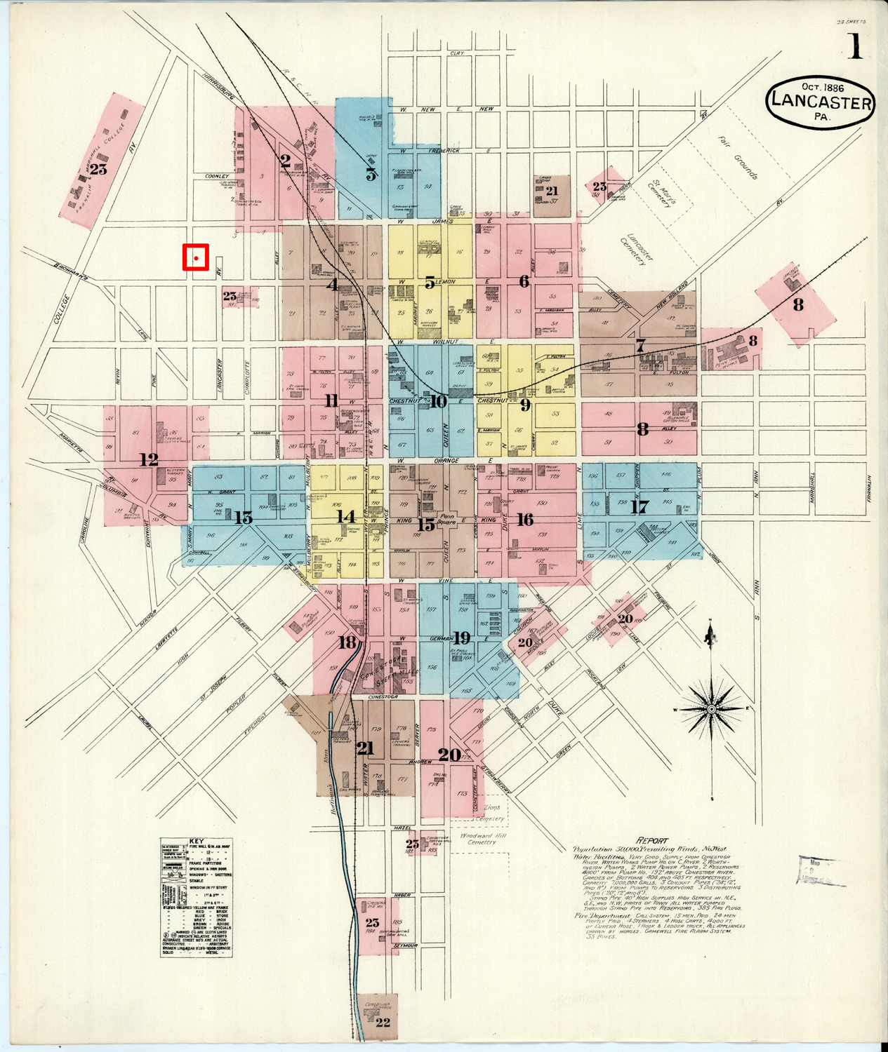
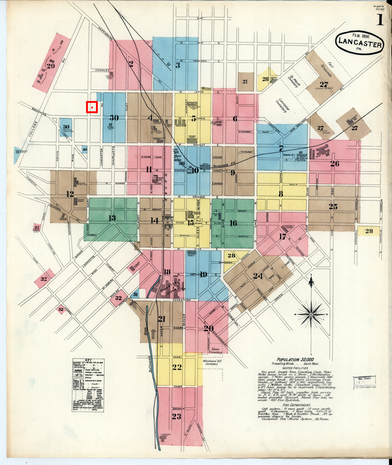
Lancaster 1886/1891
These two city maps of Lancaster (from 1886 and 1891 respectively) show that North Mary street had been continued up to Harrisburg Ave, but no homes had yet been built north of West Chestnut street. The RED square icons indicate the future site of 425 North Mary street, between West Lemon and West James streets.
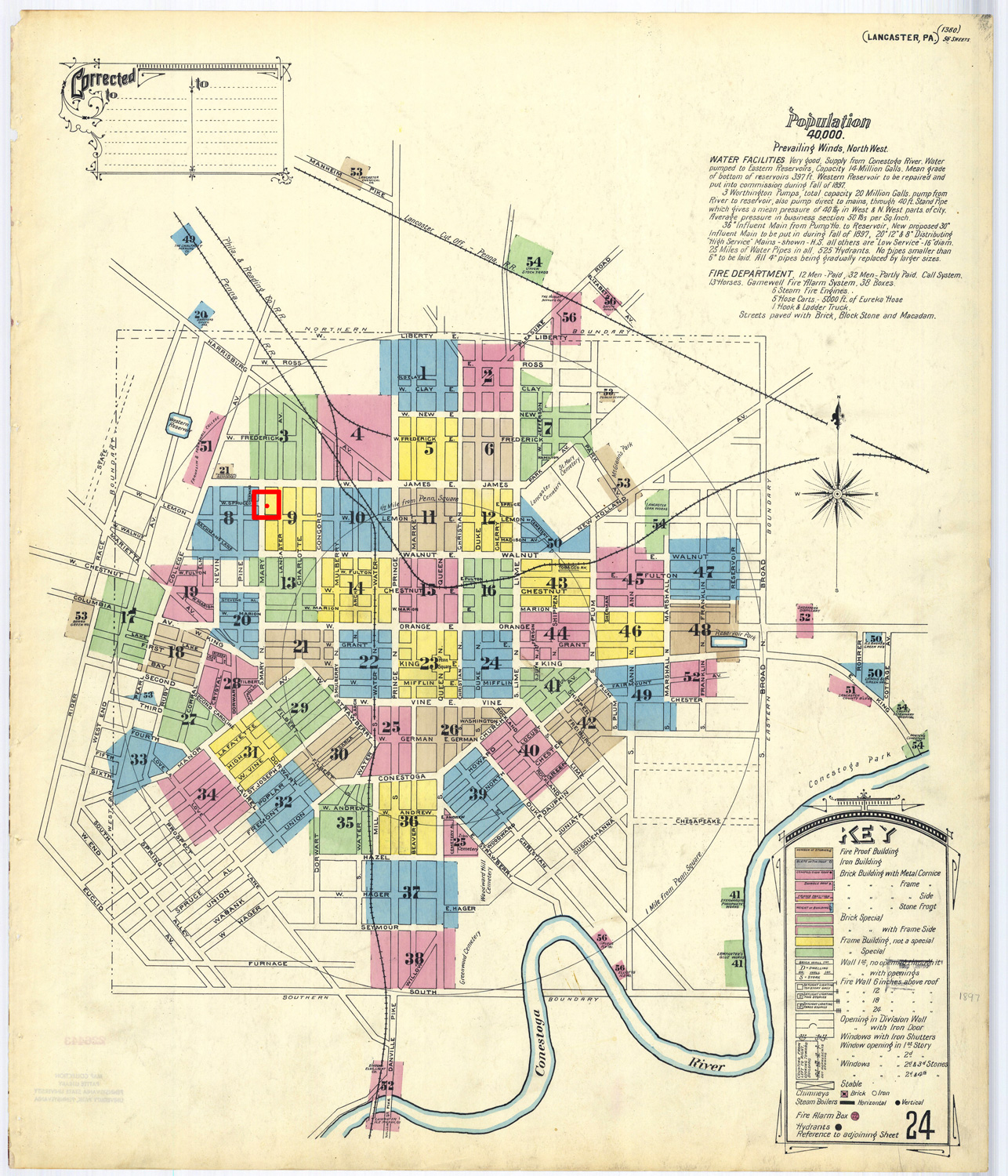
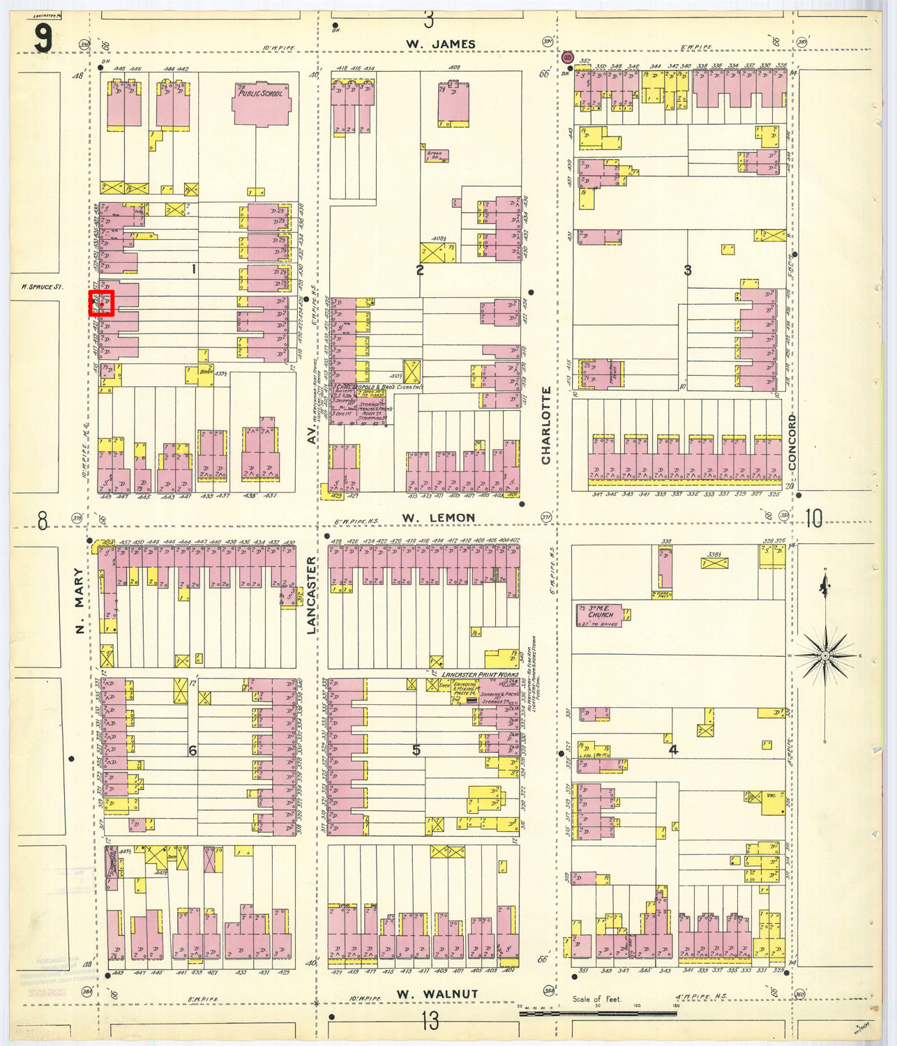
Lancaster 1897
425 North Mary street must have been built sometime between 1891 and 1897. This Lancaster city map from 1897 shows that homes had now been built in the northwest streets of the city, and the detail map shows 425 North Mary street already in place in the middle of the block.
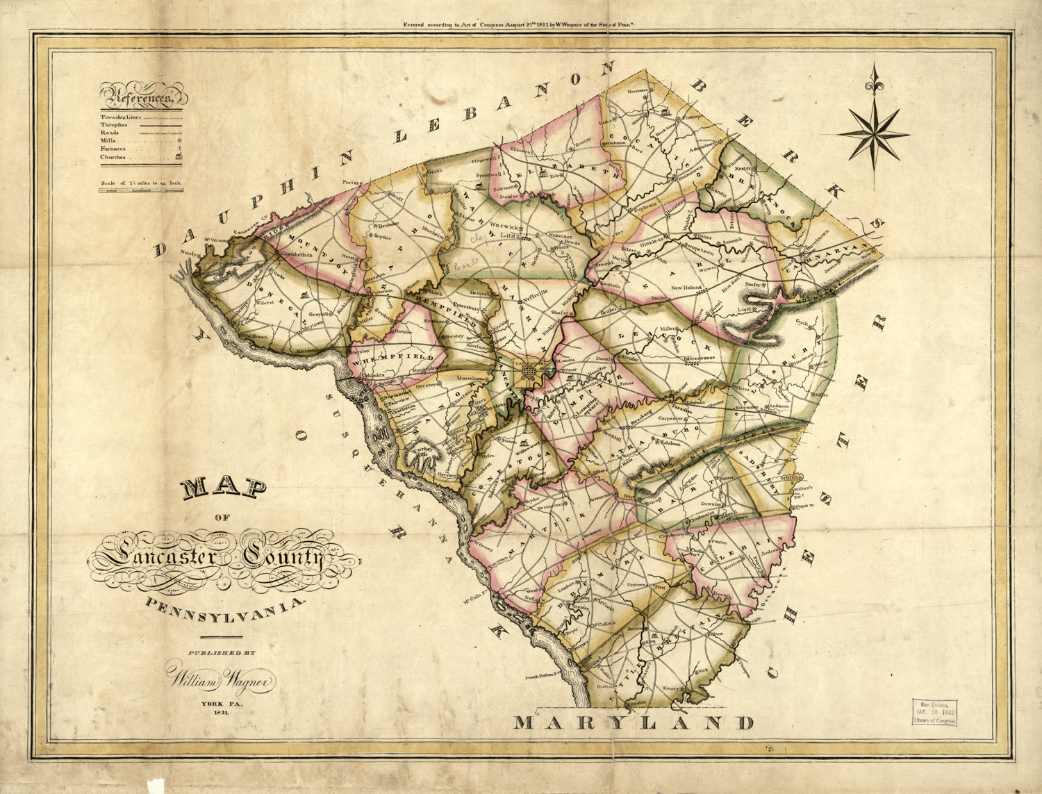
Other Historical Maps
Pennsylvania and Maryland 1740
[Benjamin Eastburn, Surveyor General of Pennsylvania / John Senex, engraver]
A Map of parts of the Provinces of Pensylvania and Maryland with the Counties of Newcastle, Kent and Sussex on Delaware according to the most exact Surveys yet made drawn in the Year 1740.
A very early and small Lancaster Town can be seen in the top center of this map.

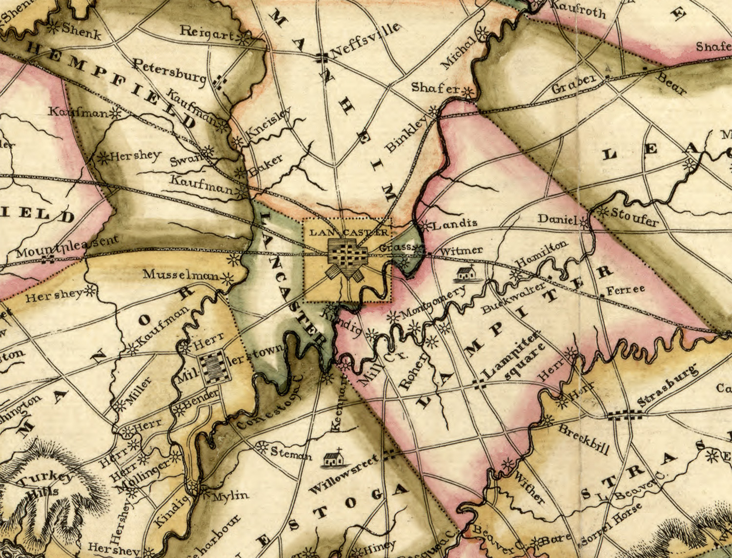
Regional map of Lancaster, 1848

Lancaster Railroad Connections, 1887

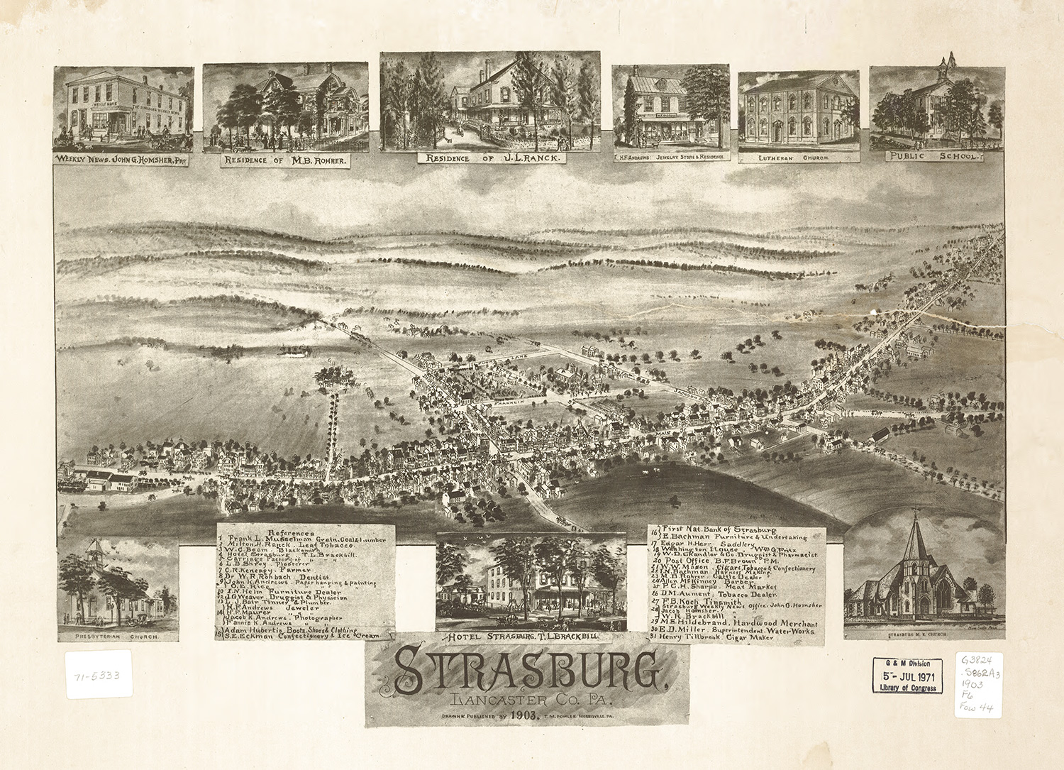
Strasburg, Lancaster County, 1903